Blistering 40C heatwave could be about to follow the hottest June on record
A scorching 40C heatwave could soon sweep across the country, following on from the hottest June on record.
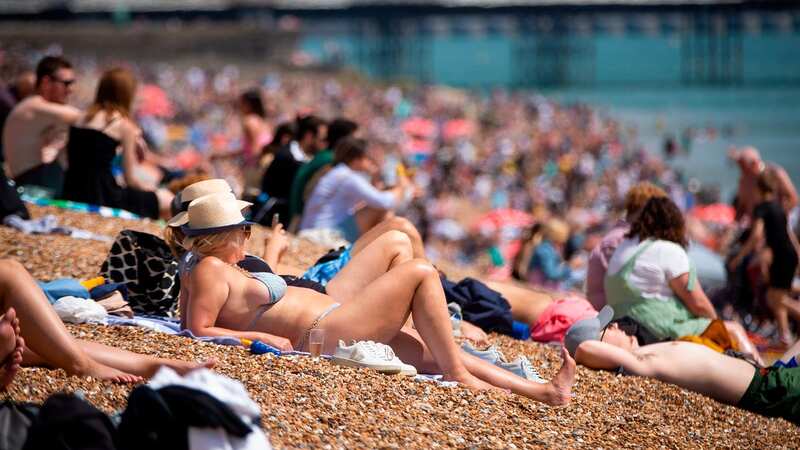
Last year, temperatures reached a sizzling 40.3C in Lincolnshire, but forecasters believe the mercury could reach even higher this summer.
The Met Office said has said that “above-average temperatures” could be experienced from July 12 to July 26 and that the high-pressure conditions are set to create a “correspondingly higher likelihood” of heatwaves.
Met Office meteorologist Jonathan Vautrey said: "Towards the middle to the end of July there is an increasing chance that high pressure may become established.
“On balance northern areas are more likely to see drier conditions with southern areas seeing greater risk of showers and thunderstorms. We can say there is a greater than normal chance of heatwaves for the whole period of the middle to the end of July."
 Gales, snow and rain to batter country today with 80mph wind gusts
 June 2023 is likely to be confirmed as the hottest on record (PA)
He added: "Because of the change in climate our extreme temperatures are continuously being pushed.
"There is an increasing chance these extremes could get pushed further.
“We got 40C last year and before that happened no one thought there was an outside chance. There’s also a possibility we do continue to see those trends.”
The Met Office update comes after reports of a 'heat dome' hitting the nation, starting next month.
British Weather Services' senior meteorological consultant Jim Dale explained that there is "every chance" that the hottest temperature recorded so far this year, 32C, could be beaten and temperatures of up to 40C may arrive in August.
 A 'heat dome' is expected to hit the UK next month, bringing sweltering temperatures (PA)
"The heat is not all over yet," he told the Mirror. "It is for now - we've got two weeks of general temperate weather coming.
"But we've still got the rest of July, and then we go into the traditional hottest spell of the year - the first two weeks of August. With an El Nino starting to get the ball rolling, as far as the global effects are concerned, it could mean we go back into a heat dome again just as we go into those six to eight weeks of August and end of July.
"We could easily get those heat spikes again from North Africa. There's every chance of beating the 32.2C from earlier this year; that would be a good peak in any normal year.
"But there's also every chance we'll break the 35C mark in the second week of July and August. That's a 50/50 chance.
"The 40C degrees is more likely in August than in July. But there's everything to play for as far as the summer is concerned."
 Tips to stop windscreen freezing and prevent blades from sticking to window
 The Met Office warns that blistering conditions are on the horizon as July gets underway (PA)
We'll have to be patient for such balmy conditions, however, as the forecast for the next few days is significantly cooler, with temperatures ranging from between 9C and 16C across the country.
The Met Office's rainfall map also warns that scattered showers are a possibility, particularly across the north of England and Scotland.
Met Office Five-Day Forecast
This Evening and Tonight:
Any daytime showers across England and Wales fading leaving long clear spells this evening. Across Scotland, showery outbreaks of rain will move east. Cloud and patchy rain then arriving across the western areas of the UK towards dawn.
Friday:
A bright start in the east, but cloud already across western areas will move east with outbreaks of mostly light rain, however some heavier bursts are possible. Turning breezier.
Outlook for Saturday to Monday:
Changeable on Saturday with outbreaks of rain with brisk winds across the north. Mostly dry Sunday and Monday with sunny spells and scattered showers in the northwest. Temperatures near average.
Read more similar news:
Comments:
comments powered by Disqus


