Bank Holiday Monday scorcher as temperatures forecast to hit 19C
Brits can enjoy a bright and sunny Bank Holiday Monday with temperatures forecast to reach 19C in some areas.
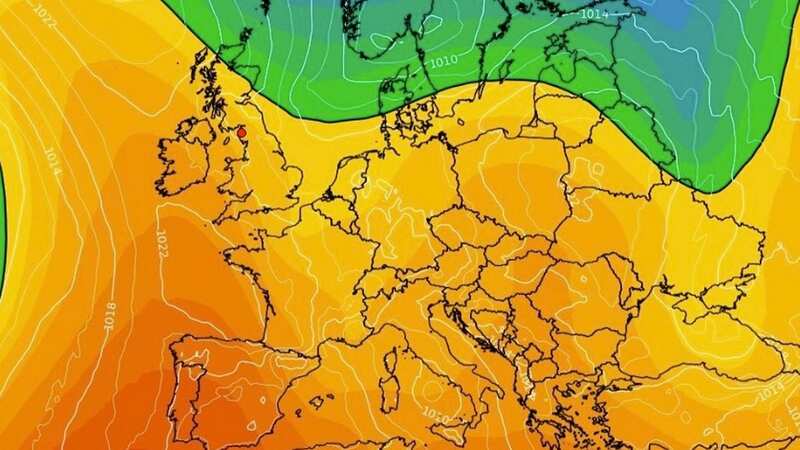
The Met Office said "there will be a lot of fine weather away from the east and south east of England" after "most places get off to a bit of a grey start".
It comes after the UK enjoyed its hottest day of the year on Saturday with temperatures hitting 20.2C in Pershore, Worcestershire and Hull, East Yorkshire, and London's St James's Park enjoyed Sunday's top temperature of 18.7C.
The Bank Holiday could see most of England, Wales and Northern Ireland enjoying "a reasonably warm day with temperatures a little bit above average" by 2-3C, according to Met Office forecaster Marco Petagna.
 Visitors to Cambridge enjoy the hottest day of the year (Martin Dalton/REX/Shutterstock)
He added: "In the sunshine in the west and south west, it will be pleasant enough to be out and about. It will be quite bright.
 Gales, snow and rain to batter country today with 80mph wind gusts
"Temperatures will likely range from 13C to a high of 19C."
Despite the sunshine for many, there will be a few showers across the north of Scotland, the south east of England and particularly parts of East Anglia.
Mr Petagna said: "Showers in northern Scotland are set to ease off towards lunchtime but the showers may get going even more over East Anglia and south-east England.
"The south east generally could see some quite heavy showers from late morning into the afternoon and there could be one or two quite thundery ones."
 People enjoying the sunshine on Wimbledon Common, London, as the warm weather returns (Amer Ghazzal/REX/Shutterstock)
Meanwhile, cool air in the north east of Scotland means the mercury is only expected to reach 7-10C.
Tuesday and Wednesday look like they will be mainly dry with bright and sunny spells across the UK before rain and more unsettled weather could start to push up from the south and west from Thursday as the nation heads towards the coronation weekend.
UK five-day Met Office forecast
Today:
Good deal of cloud at first with some showers or outbreaks of rain in places. Cloud breaking through the day to allow sunny spells, particularly southern and western areas, but also scattered showers, some heavy with thunder in eastern England.
Tonight:
Clear spell developing across the north and northeast with a frost in places. Some fog patches for southwest England, else rather cloudy with a few showers over central parts.
Tuesday:
Most places dry with variable, often large amounts of cloud and sunny intervals. The odd light shower possible in the west and also for Northern Scotland.
Outlook for Wednesday to Friday:
Largely settled Wednesday; brisk southeasterly winds developing later. Becoming more unsettled from the south during Thursday, with risk of thunderstorms for England and Wales Friday. Temperatures slowly recovering by Friday.
 Tips to stop windscreen freezing and prevent blades from sticking to window
Read more similar news:
Comments:
comments powered by Disqus