Two dramatic shifts in weather within two weeks are likely as temperatures drop
Temperatures across the UK are set to plunge by -16C in just two weeks, forecasters anticipated.
The Met Office indicates the mercury is to reach a balmy 16C today across the Midlands, East of England, and Southeast of England - a figure warmer than parts of Italy. The temperatures are roughly double the average for the time of year.
But, by the end of the month, daytime temperatures will plummet to 0C - freezing - across the country after a further shift in weather patterns. Weather maps generated by forecasters at Metdesk show the plunge in temperatures across the UK, which would increase the chance of snow.
The long-range Metdesk forecast suggests the coldest areas on Thursday February 29 will include parts of Cumbria, Gwynedd, Northumberland and Scottish Highlands. It'll be similar on Friday March 1 with the south of England even set to experience the Arctic chill then - despite it being the start of meteorological Spring.
 Sun has peeked through the clouds across the country this balmy week (Mike Boss / SWNS)
The BBC, too, says it will be "turning colder". The BBC forecast for February 19 to 25 states: "Confidence in the forecast is rather low throughout next week. With a ridge of high pressure expected across the UK there should be a couple of mostly dry days.
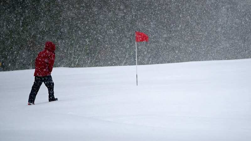
 Gales, snow and rain to batter country today with 80mph wind gusts
"But it does not look like being a robust high pressure system, and Atlantic frontal systems could nudge some drizzle or light rain into Scotland, Northern Ireland and north-west England at times. Temperatures should drop a little further but nevertheless mostly stay near or a little above seasonal.
"There will be some overnight fog, and a chance of patchy ground frost but no sharp frosts. Through midweek, high pressure is expected to recede, so there will be a higher chance of active frontal systems bringing rain from the west, which could be heavy in places. Chillier north-westerly flows should follow later next week, with temperatures dropping closer to seasonal, even a shade below in Scotland, where wintry showers will become more likely."
As Birmingham Live reports, the change would mean temperatures will drop by 16C in less than two weeks. The sharp shift is due to a change in wind direction as gusts will come from the north by the end of February.
But today, a 500-mile-wide steamy subtropical air plume will led to balmy conditions - unusual for this time of the year. The Met Office said Thursday even saw highs of 18.2C in Pershore, Worcestershire, however nearly 30mm of rain fell in Shap, Cumbria, and flooding remains a threat, especially across the Midlands and the Home Counties.
Read more similar news:
Comments:
comments powered by Disqus