Met Office predicts when UK temperatures will soar thanks to ex-Hurricane Nigel
Met Office forecasters have pinpointed the exact date when the UK will experience 'above average' temperatures, thanks to the aftermath of Hurricane Nigel.
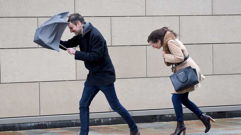
The former hurricane has been battering America's east coast but is set to journey across the Atlantic towards Britain this week, bringing with it torrential rain and gale-force winds. The Met Office has issued yellow weather warnings for rain until 6pm today, cautioning some homes and businesses could face flooding.
Bus and train services are likely to be disrupted, leading to extended travel times, according to forecasters. Western regions are bracing for between 50mm to 100mm of rainfall, with high-altitude areas like Snowdonia in Wales potentially receiving up to 200mm - significantly higher than its average rainfall of between 69mm and 87mm September to October. However by Sunday, Nigel will be nearing the UK, and will usher in warmer and drier conditions.
Met Office forecaster Alex Deakin said: "Ex-hurricane Nigel is currently out in the mid Atlantic, by the weekend it is up to the north west of the UK - lots of isobars so it's going to cause a wet and windy spell. That is ex hurricane Nigel. It will go through that transition. It will lose the warm seas because the seas around the UK are not warm enough to support hurricanes, so it will stop being fuelled from below and start being impacted by the jetstream above.
The storm is expected to bring strong winds and potential spells of rain. However, temperatures will increase in the early part of next week with the mercury predicted to tip over 21C -above average for this time of year.
 Gales, snow and rain to batter country today with 80mph wind gusts
Mr Deakin added: "Plenty of wet and windy weather this week but after that the chance of it turning drier and perhaps the change if it turning a little bit warmer. You can see, particularly in the south and east quite a high chance that temperatures at lunchtime will be above average - between 40-60% chance, even higher than that across the east.
"Part of that is being driven by Nigel pushing some warm air our way so that will enhance those temperatures by day as well, but quite a strong signal that even as the high pressure builds in through the middle part of next week that we could see some warmth particularly across some parts of England and Wales for temperatures to be quite a bit above average."
* This article was crafted with the help of an AI tool, which speeds up The Mirror's editorial research. An editor reviewed this content before it was published. You can report any errors to webhomepage@mirror.co.uk
Read more similar news:
Comments:
comments powered by Disqus