Exact date -5C freeze will sweep Britain as spring kicks off with frosty start
The recent wet conditions are set to be replaced by freezing temperatures as Britain’s wild weather ride of 2024 continues.
The country was hit by downpours yesterday with rain expected to continue for the vast majority of the nation today, with dozens of flood warnings and alerts currently in place. People have been warned to take action in several areas amid fears water could seep into homes and businesses.
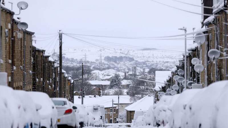
The official start of spring is just around the corner, but again the weather is set to worsen - and people might want to get their big coats back out. According to maps from WXCharts, different parts of the country will be hit by snow on the official first day of spring - Wednesday, March 20. The next day temperatures will plummet to -5 on March 21 around the Scottish Highlands. Edinburgh will dip to -2. In England, temperatures will be a tad warmer at somewhere between 2C and 5C, the Express reported.
For today, the Met Office said in its forecast: “Wednesday morning starts mild, murky and rather wet for many areas of the UK, but there will be drier and brighter conditions developing across Scotland. A band of rain will slowly move across northern parts of the UK. Drier in southern England and Wales, but largely cloudy. A windy day, with gales in northern Scotland.”
It comes as a new alert map has revealed that more than 40 places are expected to be struck with flooding across the UK. The issued 46 flood warnings for areas including the Cumbrian coastline, and . However, cities such as London will also endure the severe , with groundwater flooding expected for South East .
 Gales, snow and rain to batter country today with 80mph wind gusts
Members of the public have been told to also prepare for a staggering 155 flood alerts in areas such as Cambridgeshire, Teddington and Nottinghamshire on Tuesday. Unfortunately for Brits, the downpours will persist and continue later into the week, with forecasters warning that the rain could become "heaviest" in western areas.
The earlier stressed that clouds would "dominate" Britain over the next few days, but explained that there could be some dry and bright interludes. The long range forecast, which is issued for March 17 to March 26, reads: "Through the weekend a broadly unsettled but mild pattern continues.
"Sunday seeing areas of rain steadily clearing east through the day with showers developing behind this, some of these potentially heavy especially in the west. Into the new week temperatures trend down toward just above average for the time of year as showers on Monday turn to broader bands of rain at times into the week, though with some brighter, milder, breaks interspersed.”
Read more similar news:
Comments:
comments powered by Disqus