Heavy flooding forces major London station to close with two Tube lines affected
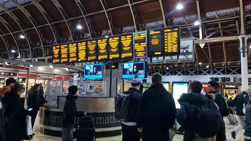
One of London's busiest train stations has been closed amid heavy flooding.
As a result, the Hammersmith and City, and Circle lines, have been ground to a halt. The Elizabeth Line remains open with both platforms accessible by leaving the station via the exit at platform 1 and entering the Elizabeth Line station using the lifts or escalators.
There have already been three flood warnings issued for the capital today. Though homes are expected to avoid the worst of the deluge, low-lying footpaths may become submerged by 6pm, it has been reported.
Among the most flood-prone areas are Putney Embankment, Riverside and The Embankment at Twickenham, Friars Lane and Water Lane, Chiswick Mall and Strand on the Green, Thames Bank at Mortlakeand the Towpath below Teddington Lock.
Brits are being warned to get out their umbrellas and take shelter as millions of people are set to be hit by non-stop rain this week.
 Missing cat who secretly lived in London Underground lured after scary ordeal
It comes as a new flood alert map has revealed that more than 40 places are expected to be struck with flooding across the UK. The Environment Agency issued 46 flood warnings for areas including the Cumbrian coastline, Lancashire and Wiltshire. However, cities such as London will also endure the severe weather, with groundwater flooding expected for South East London.
Members of the public have been told to also prepare for a staggering 155 flood alerts in areas such as Cambridgeshire, Teddington and Nottinghamshire on Tuesday. Unfortunately for Brits, the downpours will persist and continue later into the week, with forecasters warning that the rain could become "heaviest" in western areas.
The Met Office earlier stressed that clouds would "dominate" Britain over the next few days, but explained that there could be some dry and bright interludes. The long range forecast, which is issued for March 17 to March 26, reads: "Through the weekend a broadly unsettled but mild pattern continues.
"Sunday seeing areas of rain steadily clearing east through the day with showers developing behind this, some of these potentially heavy especially in the west. Into the new week temperatures trend down toward just above average for the time of year as showers on Monday turn to broader bands of rain at times into the week, though with some brighter, milder, breaks interspersed.
This is a breaking news story. Follow us on Google News, Flipboard, Apple News, Twitter, Facebook or visit The Mirror homepage.
Read more similar news:
Comments:
comments powered by Disqus


