UK snow fears as 'rare phenomenon' in atmosphere could bring 'widespread cold'

The UK has been warned a rare weather phenomenon is under way in the country - and it could bring with it lashings of snow.
Exacta Weather forecaster James Madden said sudden stratospheric warming (SSW) is under way, possibly "bringing more meaningful cold/snow from March". He said: "To date we haven't really seen a sustained easterly developing this winter and the approach has been more from the north during the cold and snowy periods. In essence, the cold just hasn't been able to dig in deep enough from these to bring in parts farther south for snow."
"However, this particular sudden stratospheric warming (SSW) is really going for it this time around in terms of obliterating the polar vortex and almost every output and scenario reviewed for afterwards, places us in a strong blocking pattern over some sustained periods from late February and in March/early April."
Madden added that March is likely to have "widespread snow" possible for "all parts of the country" when this happens. Looking ahead from March 11 to March 20, the Met Office said: "Following unsettled weather for many over the preceding weekend, next week will initially see a gradual improvement in conditions from the west as drier, brighter weather and lighter winds slowly arrives."
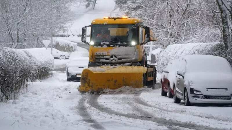
 New weather maps show the snow could hit in a matter of days (ANDREW LLOYD)
"Cloudier conditions with some showers in the east are likely to persist for a time before this occurs. Much of the period thereafter will see a battle between cloud and rain arriving from the Atlantic, and drier, more settled conditions trying to extend westwards from the nearby continent.", reports Birmingham Live.
 Gales, snow and rain to batter country today with 80mph wind gusts
"However, the most likely scenario is that "south-shifted" Atlantic weather systems will tend to dominate, bringing periods of mild, cloudy and wet weather across many southern and eastern areas in particular, whilst northwestern areas fare best in terms of settled weather. Temperatures overall are likely to be around the seasonal average."
New weather maps show that fresh snow could hit the British isles within a few days. While most of the nation is currently enjoying a milder spell, new forecast projections from WXCharts show a chilly few days on the near horizon - with hats, gloves and big coats likely to be needed.Cold air is expected to sweep in as a result of a new high pressure system, bringing snow to Scotland and Northern Ireland on Wednesday 13 March.
Heavy accumulations of more than 5cm per hour could be on the ground in the worst affected areas by the evening, with this same weather front falling as torrential rain in northern England and Scotland. South-shifted Atlantic weather systems will also dominate next week, bringing periods of mild, cloudy and wet weather across many southern and eastern areas in particular, according to forecasters.
Read more similar news:
Comments:
comments powered by Disqus


