UK to be hit by colder conditions than usual with widespread snow forecast
The Met Office says there is potential for " widespread snow " in the UK towards late January and late February, with weather conditions moving out of the norm, even for winter.
Between January 20 and February 3 it forecasts colder conditions - unusual for the time of year. On its website, it reads: "Through this period, compared to normal, there is an increased chance of colder conditions along with the associated impacts from low temperatures, ice and snow.
"Whilst colder weather is more likely to dominate, there is also the possibility of frontal systems at least encroaching from the west or southwest, bringing the potential for more widespread snow to parts of the UK as they butt up against cold air in place. These would also increase the likelihood of wetter conditions, at least in the south, at least compared to the preceding week or two."
"High pressure will remain in charge through the first part of this period, whilst sitting to the north or northwest of the UK. This means a fair amount of dry weather for the majority of the country, with variable clouds and some sunny spells. Still the chance of a few showers, perhaps wintry at first, feeding into some eastern coasts.
The long-range forecast by the weather service says cold temperatures are likely to dominate in mid to late January and early February, bringing with them possible wintry conditions. It means ice, frost and snow are more likely to affect parts of Wales and the UK.
 Gales, snow and rain to batter country today with 80mph wind gusts
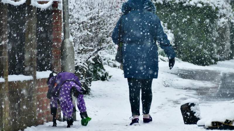
 Snow is expected towards the end of January (Fraser Gray/REX/Shutterstock)
WalesOnline reported that the Met Office website states that between January 10 and January 19 many areas will experience dry conditions before northerly winds develop, bringing a risk of snow showers - increasing the chances of a snowy start to 2024.
There is potential for hundreds of seaside towns in the south, southeast and southwest of England to be enveloped from 6am next Monday (January 15). Meanwhile, an area south of Birmingham, including London, the Midlands, and Wales, is expected to be affected by the Polar blast.
The north of England will also see plummeting temperatures and wintry conditions, with the mercury potentially fall as far as -6C in parts of Scotland near cities such as Inverness. London could also see an icy OC, while Cornwall could see a slight rise to 2C, which is well below the average for January.
Other forecasts suggest there is a risk of snow accumulating across the country in the days leading up to the blast. Chief forecaster for the Met Office Jason Kelly said: "The transition to lower temperatures will be noticeable over the weekend. It will become rather cold next week with lower-than-average temperatures across much of the UK, accentuated by brisk easterly winds in the south."
Read more similar news:
Comments:
comments powered by Disqus